GIS
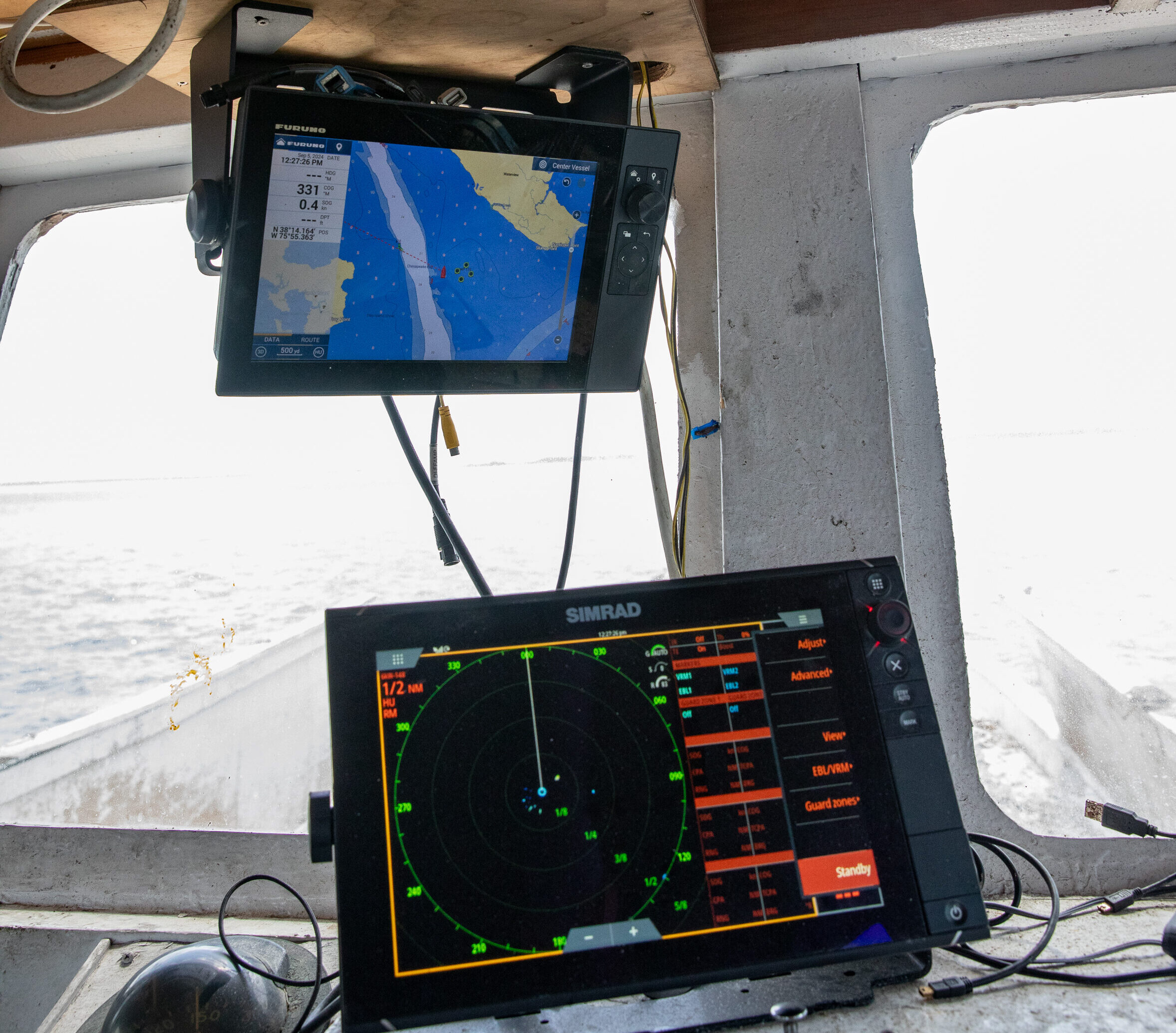
We deploy various GIS methods for our surveying work on the Chesapeake Bay and its tributaries. Sampling sites are generated from systematic grids developed in ArcGIS Pro and draped over GIS layers. A differential global positioning system (DGPS) works in tandem with ArcMap for navigation and positioning. And Esri ArcGIS software files and maps show the results of ground truthing surveys that we conduct prior to planting. The information is stored in a GEOdatabase with feature datasets that are accessible to Seed to Shuck and our planting partners.


